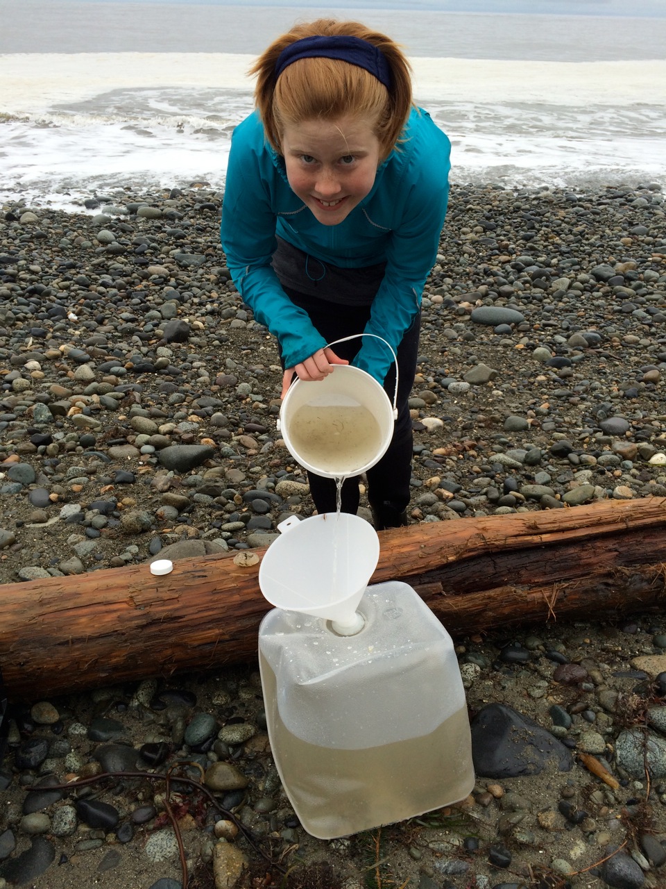
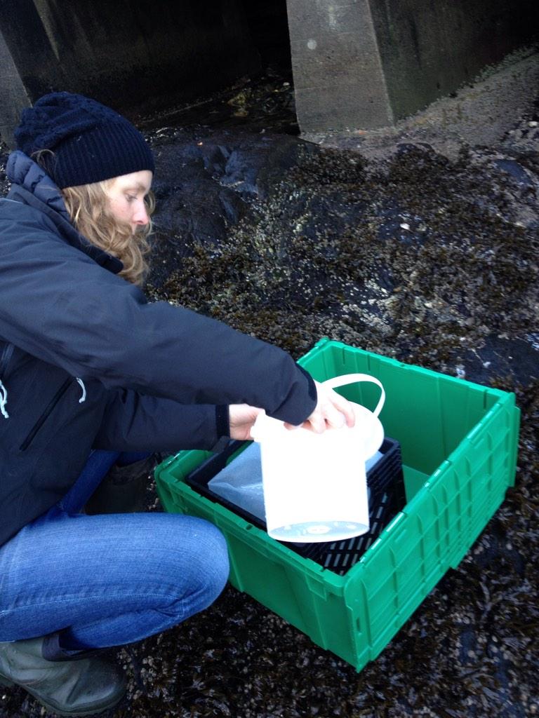
Tlell, Haida Gwaii
Nov. 8, 2014
First sample collected by Megan and family.

Tlell, Haida Gwaii
Nov. 8, 2014
First sample collected by Megan and family.
Powell River, BC
November sampling was carried out in close proximity to the Kelly Creek Community School on the Sunshine Coast. Powell River is found on the traditional territory of the Tla’amin First Nation.

Location of Powell River, BC
Masset Haida Gwaii, BC
InFORM volunteer Kurt headed out to the beach shortly after Haida Gwaii had experienced ~120 kph winds from a significant fall/winter storm. Haida Gwaii is ~450 miles north of Vancouver and 80 miles west of Prince Rupert and are the most westerly islands in Canada. They have been home for the Haida First Nation for at least 8000 years. This sample was collected near the village of Masset on the north coast of Haida Gwaii.
On the beach with the InFORM sampling kit

Location of Masset and sample collection
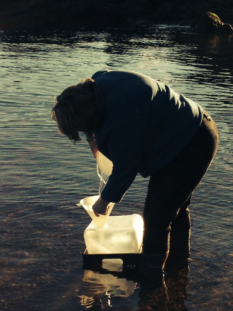
Port Renfrew, BC
November 2014 sampling for the InFORM projects was carried out by volunteers from our NGO partner Surfrider Foundation Vancouver Island. If you love the ocean you will love Surfrider. Port Renfrew is located on the southwest coast of Vancouver Island. Port Renfrew is in the traditional territory of the Pacheedaht (meaning “people of the sea foam”) First Nation. Port Renfrew is the southern terminus of the West Coast Trail and is close to some of the biggest trees in Canada and in the world.
The picture below shows the first InFORM sample in Port Renfrew being collected in November 2014.
Location of Port Renfrew, BC
Winter Harbour, BC
The following description was taken from the Cape Scott – Winter Harbour Cottages website which can be found here.
Winter Harbour BC is on the northwest coast of Vancouver Island, 75 kilometres (gravel road) west of Port Hardy. Approximately a 5 hour drive from Campbell River. Winter Harbour is also accessible by water, via Quatsino Sound, from Coal Harbour or Port Alice.
In the 1930’s Winter Harbour was settled as a remote fishing community for west coast trollers. Having survived the ups and downs of the commercial fishing fleet, the village has evolved into a popular sports fishing destination. Fifteen minutes by speed boat puts fishers onto productive ocean fishing grounds. Salmon and bottom fish abound offshore as well as in the sheltered waters of Quatsino Sound.Winter Harbour is close to many wild, west coast beaches and hiking trails. Within the village, an historic boardwalk leads through the forest and along the shore. Nearby, Botel Park offers a rainforest hike from the community to an outside shore.
Here is a picture of the InFORM sampling kit on the dock in Winter Harbour ready to be filled with seawater and returned to UVic for processing and later analysis. Results will be reported as they become available.

Winter Harbour’s location is indicated on the map below and more information about the settlement can be found here>
